
DUKE OF EDINBURGH (D of E) & SCHOOL GROUP CAMPING | Ditchling, South Downs
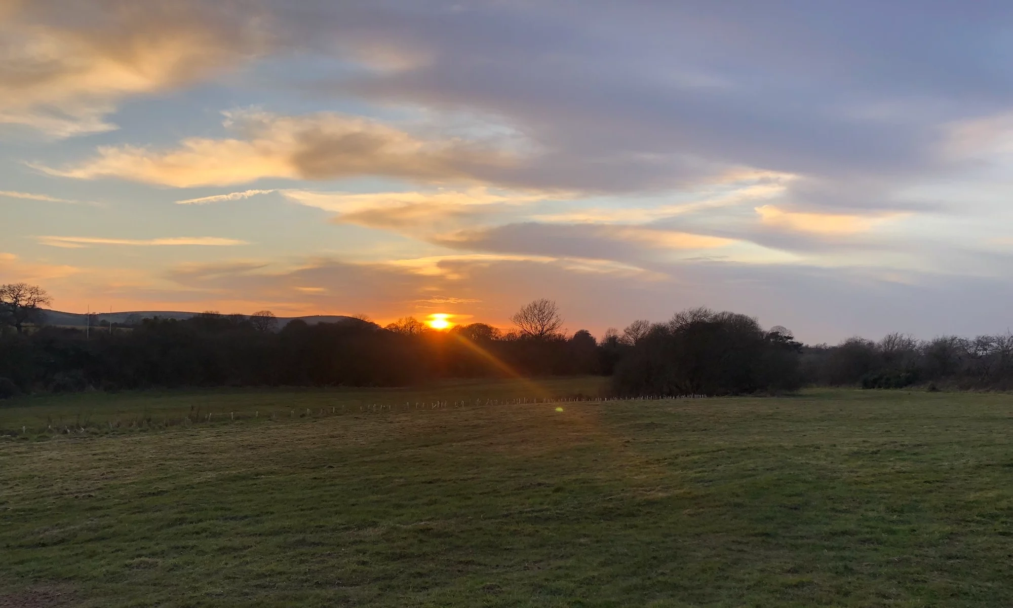
We welcome school groups and Duke of Edinburgh (Award) participants to our campsite all year round. As a premier D of E campsite South Downs explorers can rely on, we are located at the foot of the National Park, offering a strategic base for expeditions even outside the standard camping season.
Planning a D of E expedition? We offer competitive group discounts and specialised support for student groups.

- Enquire Now: ditchlingcamping@gmail.com
- Group Bookings: Use our [Contact Form] for a personalised quote.
- Note : The Showers are not operational until the beginning of May.
| D of E | Adults (per night) | Students (per night) |
| Weekdays & Weekends | £13.00 | £8.00 |
EXPLORING THE SOUTH DOWNS: LOCAL WALKS AND TRAILS
Our D of E campsite South Downs is perfectly positioned for hikers, with several national and local trails passing within a “stone’s throw” of the site..
Major Strategic Hiking Trails
- South Downs Way (SDW): This 100-mile National Trail runs East-West along the ridge just south of the site. Access the SDW via a 25-minute walk uphill from the campsite.
- Sussex Border Path: Intersecting the SDW near Keymer Post, this trail offers a scenic contrast of woodland and agricultural landscapes. Access this via The Drove, located immediately east of the campsite.
Key Local Footpath Clusters
- To the South: The Scarp Slope & Ditchling Beacon: The most popular paths lead south toward the “Beacon.” Start at The Drove to head directly to the Scarp Slope.
- Ditchling Bostal: A traditional steep chalk path leading from the village up the scarp..
- Westmeston Bostal: Located just east of the campsite near Westmeston Church, offering a quieter ascent to the ridge.
- Ridge Trails: From the ridge, follow paths East toward Lewes and Eastbourne, or West toward the iconic Jack and Jill Windmills.
To the North: Ditchling Common & Lowlands For flatter terrain through meadows and woodland, head north along Lodge Hill Lane to Boddingtons Lane.
The Old Roman Road: Running East-West approx. 100m north of the site, this route passes through East End Lane and the Recreation Ground toward Streat.
- Ditchling Common Country Park: Located 1.5 miles north, featuring circular paths and a central pond.
- St. George’s Retreat Paths: A series of parish walks connect the common to the neighbouring village of Wivelsfield.
To the West: Keymer, Hassocks and The Chattri
- Village Link Paths: A 20-minute walk through fields parallel to Keymer Road connects Ditchling to Hassocks.
- The Chattri Loop: A 5-mile radius hike leading to the poignant Chattri War Memorial on the downs.
Essential Navigation Resources
Mobile signal can be unreliable on the Downs. We recommend:
- OS Explorer Map OL11: (1:25,000) Covers Brighton, Lewes, and Ditchling.
- East Sussex Rights of Way Map: An interactive map for the latest footpath status and the circular walks in East Sussex